Yesterday I got started in the early afternoon and drove the entire length of the forearm of Cape Cod, from North Truro down Route 6 to Route 28, right down to the very elbow of the Cape. It took just over an hour. When I was a child, Chatham was where we first went to stay, in these little salt box cottages near the sea, Ryder’s cottages I think they were called. They had wonderful homemade clam chowder fetes for all the residents every few weeks. I remember Chatham being bare, sandy, small pine trees, large ponds, not many people. This place is transformed and I bet it’s the place with the most money on the whole of the Cape. Lovely, large houses, lush lawns, flowers everywhere, beautiful landscaping with trees, views over the water, sand bars full of birds and the ponds covered in gorgeous, expensive boats. Wow. The whole of Route 28 was nothing but one lovely house after the other.
I made it to the lighthouse, which was in the middle of a lawn, open to the public, across the road from a carpark that couldn’t keep up with the long line of traffic coming in just to stop there. There was a queue to get into the lighthouse too. I hung around hoping for a space for about ten minutes and gave up. I wanted to get to back to Truro to the beach! Took a photo of the light, and went back the way I’d come, promising myself to return in the off season next time I’m here. Here’s how it looks:

I stopped in a larger carpark about five minutes drive up the Shore Road, and watched a fishing boat offloading fish for sale in a nearby fresh fish shop. There were even two seals hanging about in the water with all the gulls waiting for a treat. Here’s the boat and the seal:

And I almost forgot — I also wanted to get to the Highland light in North Truro, the lighthouse that started this whole project to photograph lighthouses. I wanted to see if it had changed! It hadn’t, but it was really in need of a new coat of paint. You can see the photo I took of it last year in my first post of this series, which I used in a small exhibition I did of Provincetown photos from November 2010 in February 2011. Here is a photo of the back of the lighthouse, close up:

And then I went to the beach at Corn Hill and had a lovely relaxing couple of hours and a swim and then went to watch the sunset, but wait! I’m leaving that for last… The day I wrote this, 28 July, I thought it was the end of the lighthouse saga, at least on Cape Cod. And it was, until I went whale watching two days later…
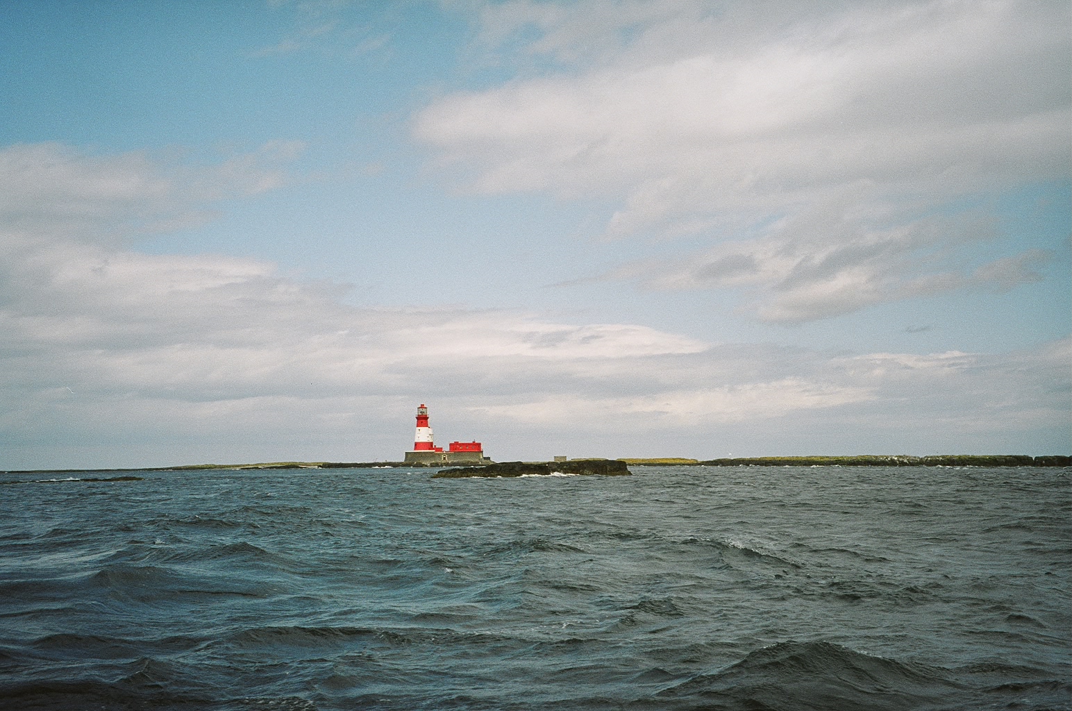
Yes, whale watching, where, in addition to almost seeing at least 15 whales, I got rather sick from the fumes of the engine and threw up for the first time in almost 40 years! But the best part was, as the boat left the harbour, Ros pointed in the distance and said: “It looks as if you’re going to see both your other lighthouses.” She meant the Wood End light and Long light, the ones I hadn’t managed to get close enough to for a good photo, let alone to explore, on that narrow strip of sand at the very tip of the Cape. And so it was. So here they are, taken from the whale-watching boat, first Wood End and then Long light all by its lonesome:


And that really is the end of this first series of my photos. It’s time for the sun to go down, and where better to watch it than from Herring Cove beach. And if you look closely in this last photo, you can even see the Race Point lighthouse in the distance, bringing me and the three Provincetown lighthouses together before I leave for home:

I hope you’ve enjoyed these photos. I certainly enjoyed taking them!! 31 July 2011.